


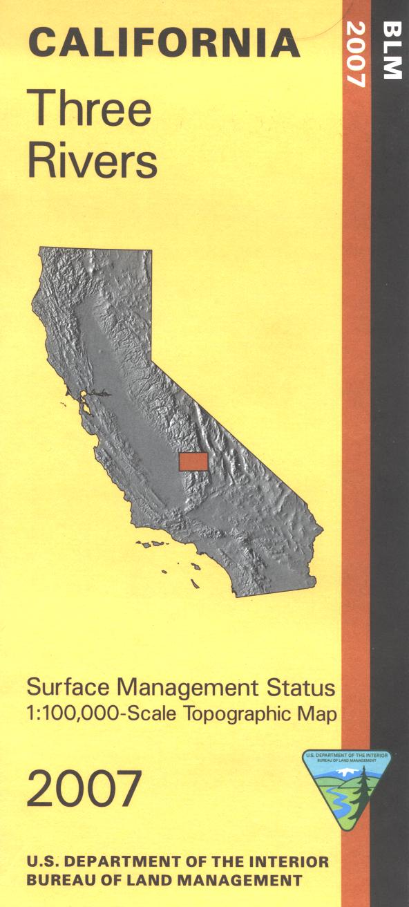

Map shows lands east and north of Porterville. Included are sections of Inyo and Sequoia National Forests, Giant Sequoia National Monument, and Sequoia National Park. From Porterville travel northeast to access the national monument campgrounds and hiking trails, forest campgrounds and hiking trails, and Mountain Home State Forest campgrounds. A section of Pacific Crest National Scenic Trail running north to south through the Inyo National Forest is marked. Official Bureau of Land Management metric topographic map @1:100,000 scale (roughly 3/4"=1 mile), color-coded to show surface management, i.e. agency vs. private or tribal ownership. Map shows roads, water features, recreation sites, points of interest, and the township and range lines. Maps show trails and developed recreation areas such as campgrounds. Use this map for Deer Hunting in Unit D8 and X10. 2007
Every purchase made through our online store helps us continue our nonprofit education programs and services on Southwest public lands.