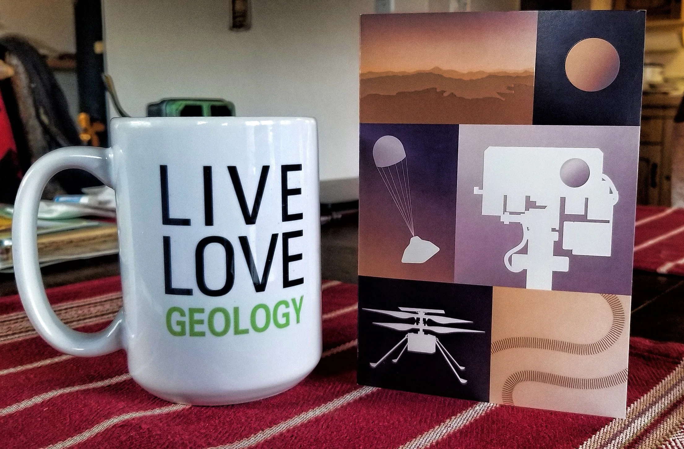
Sustained water flow...

on Mars is evidenced in the sedimentary landform in Jezero Crater, a river-dominated “Gilbert-type” delta system, as seen in this recent imagery from the Perseverance rover on Mars.

Annotated image captured on 7 May 2021 (Sol 77) by the SuperCam Remote Micro-Imager.  The thickness of the foreset bedded unit is difficult to determine, but it is at least many meters thick.  Note the tangential lower contact between the foreset and bottomset beds.

Annotated image captured on 7 May 2021 (Sol 77) by the SuperCam Remote Micro-Imager. The thickness of the foreset bedded unit is difficult to determine, but it is at least many meters thick. Note the tangential lower contact between the foreset and bottomset beds.

Diagram illustrating the sedimentary processes and depositional architecture of a prograding (advancing) deltaic system (from research.net).

Diagram illustrating the sedimentary processes and depositional architecture of a prograding (advancing) deltaic system (from research.net).

Distinct foreset crossbedding...

has been imaged by the Perseverance rover in the distant outcrops that mark the delta front in Jezero Crater on Mars. This is a clear indication of prograding (advancing) sedimentary deposits in water!

LRE_0063_0672517991_142ECM_N0032046SCAM01063_0080I6J01_800.jpg
NASA's Mars Perseverance rover acquired these images using the SuperCam Remote Micro-Imager, located at the top of the rover's mast, on 24 April 2021 (Sol 63).

NASA's Mars Perseverance rover acquired these images using the SuperCam Remote Micro-Imager, located at the top of the rover's mast, on 24 April 2021 (Sol 63).

Diagram illustrating bedding relationships in a prograding Gilbert delta (from researchgate.net).

Diagram illustrating bedding relationships in a prograding Gilbert delta (from researchgate.net).

Perseverance's view...

during entry, descent and landing on Mars, as captured by the Lander Vision System camera used for terrain recognition and final targeting of the landing site. The Jezero delta is clearly recognizable in these images captured during its last minutes of flight. Wow!

Landing site indicated by red circle near the bottom-center of the image.

Landing site indicated by red circle near the bottom-center of the image.

Oblique view of delta front captured just seconds before landing.

Oblique view of delta front captured just seconds before landing.

Jezero delta front panorama...

constructed from images acquired by the Mastcam-Z cameras on the Perseverance rover during Sol 3. I’ve been drinking from the fire hose of thousands of new downloaded raw images and selected three to process and stitch together that depict the low escarpment at the delta front. The panorama clearly shows the distributary channels standing out on the upper delta plain in relief, as surrounding finer-grained sediments are swept away by the wind, coarser-grained channel deposits stand out as more prominent outcrops.

Panorama view of delta front about 1.8 km away from Perseverance rover. High crater rim is approximately 10 km distant. (Click on image to enlarge.) The former inflow channel to the delta from Neretva Vallis is in the low spot on the very left of this image.

Perseverance rover location indicated by red circle, 1.8 km from the delta front.  The curved red line indicates portion of delta front seen in the first image above, and the red X (upper right corner) marks the high peak seen in the distance on the…

Perseverance rover location indicated by red circle, 1.8 km from the delta front. The curved red line indicates portion of delta front seen in the first image above, and the red X (upper right corner) marks the high peak seen in the distance on the crater rim.

Screenshot showing the Horton River delta in the Canadian Arctic, a smaller but excellent terrestrial analog of the Jezero delta on Mars.  These small deltaic landforms are known as a “Gilbert-type deltas,” so named after G.K. Gilbert of the U.S. Ge…

Screenshot showing the Horton River delta in the Canadian Arctic, a smaller but excellent terrestrial analog of the Jezero delta on Mars. These small deltaic landforms are known as a “Gilbert-type deltas,” so named after G.K. Gilbert of the U.S. Geological Survey.

Plate XXVII from US Geological Survey Monograph No. 1. (1890), Gilbert’s study of pluvial Lake Bonneville.  Here the Logan River is incising into the Pleistocene-age delta deposits along the Wasatch front in Utah.  Compare this diagram with the pano…

Plate XXVII from US Geological Survey Monograph No. 1. (1890), Gilbert’s study of pluvial Lake Bonneville. Here the Logan River is incising into the Pleistocene-age delta deposits along the Wasatch front in Utah. Compare this diagram with the panorama of the Jezero delta on Mars.

Local geography revealed...

of the landing site of the Perseverance rover, facing rearward towards Jezero delta and the distant high crater rim. I’ve downloaded and enhanced a just-released new image from the left navigation camera, seen on the right below, annotating prominent points on the horizon (H), a small butte (B) and two nearby delta lobes (L). One can also spy the former inflow channel, Neretva Vallis, as the low point on the crater rim.

Aerial view of landing site in Jezero Crater (on left) and processed Perseverance image (on right) showing annotated landscape features. The light blue lines indicate the camera’s field of view in the image, and the orange oval surrounds an area brushed clear by the descent stage rockets during landing. Those are the right rear wheels of the rover seen in the image. (Click on image to enlarge.)

Am I enjoying this? Yes, yes I am! If you wanna play, here are the raw images.

Hooray hooray...

we landed on Mars (again) today, exactly on target! Here are the first low-res images from the hazard cameras on the belly of the Perseverance rover, now healthy on the surface in Jezero Crater at the foot of a Gilbert delta. Happy exploring! I’ll eat rocks if they find stromatolites!

Red circle indicates approximate position of Perseverance rover, about 2 kilometers southeast of the delta front.

Red circle indicates approximate position of Perseverance rover, about 2 kilometers southeast of the delta front.

Screenshot of an on-line interactive map showing the rover’s position throughout its mission on the red planet.

Screenshot of an on-line interactive map showing the rover’s position throughout its mission on the red planet.


BREAKING NEWS: Marvin just entered the picture and he seems none too pleased at the sudden intrusion!

 
perseverance-mardi-first-image-2-w-marvin.jpg

19 Feb 2021 UPDATE: Sol 1 images from Mars!

First high-res color image (without lens cap) showing an escarpment that is the delta front on the horizon.

First high-res color image (without lens cap) showing an escarpment that is the delta front on the horizon.

High-resolution image showing one of the rover’s six wheels and what appear to be fragments of vesicular basalt, likely from the crater floor.

High-resolution image showing one of the rover’s six wheels and what appear to be fragments of vesicular basalt, likely from the crater floor.

21 Feb 2021 UPDATE: I’ve stretched and annotated an image from the rear hazard camera with my interpretations, shown below.

Click on image to enlarge.

Ten days to landing on Mars...

in Jezero Crater for the NASA/JPL Perseverance rover, targeting this interesting deltaic landform shown below. Launched in July 2020 and now about to land, the geomorphologist in me is now getting very excited!

Oblique view of northwestern portion of Jezero Crater showing inflow feeder channel (upper left) and the topographically inverted delta complex (Link to full res image.)

Black landing ellipse is about 8 km long in the east-west direction.  (Link to full res image.)

Black landing ellipse is about 8 km long in the east-west direction. (Link to full res image.)

Geologic map of landing area in Jezero Crater from Williams et al., 2020 (Link to .pdf article.)

RE-POST: Mars 2020 mission is ready to launch...

atop an Atlas V-541 rocket from Cape Canaveral, carrying the next-generation scientific rover, named Perseverance, this Thursday, 30 July 2020 at 7:50 am EDT. Link to more information about this extraordinary machine: Mars 2020 Perseverance Rover. Landing on the red planet will occur in late February 2021.

What fascinates me, though, is that this robotic geologist will land on/near an ancient deltaic system that enters the crater from the west. I have lectured about this landform and depositional system in various courses from physical geology, fluvial geomorphology, sedimentology and stratigraphy, and more.

Image of fluvial-deltaic system on west side of Jezero Crater. False color image from NASA.

Image of fluvial-deltaic system on west side of Jezero Crater. False color image from NASA.

Photo-geologic map of Jezero crater quads showing exposed bedrock and surficial units. Blue circle indicates the landing ellipse. From Williams et al., 2020 (pdf). Related on-line article: Here’s How Scientists Mapped the Perseverance Rover’s Landin…

Photo-geologic map of Jezero crater quads showing exposed bedrock and surficial units. Blue circle indicates the landing ellipse. From Williams et al., 2020 (pdf). Related on-line article: Here’s How Scientists Mapped the Perseverance Rover’s Landing Site.

Mars 2020 mission is ready to launch...

atop an Atlas 5 rocket from Cape Canaveral, carrying the next-generation scientific rover, named Perseverance, Monday, 20 July 2020 at 9:15-11:15 am EDT. Link to more information about this extraordinary machine: Mars 2020 Perseverance Rover. Landing on the red planet will occur in February 2021.

What fascinates me, though, is that this robotic geologist will land on/near an ancient deltaic system that enters the crater from the west. I have lectured about this landform and depositional system in various courses from physical geology, fluvial geomorphology, sedimentology and stratigraphy, and more.

Image of fluvial-deltaic system on west side of Jezero Crater. False color image from NASA.

Image of fluvial-deltaic system on west side of Jezero Crater. False color image from NASA.

Photo-geologic map of Jezero crater quads showing exposed bedrock and surficial units. Blue circle indicates the landing ellipse. From Williams et al., 2020 (pdf).  Related on-line article:  Here’s How Scientists Mapped the Perseverance Rover’s Land…

Photo-geologic map of Jezero crater quads showing exposed bedrock and surficial units. Blue circle indicates the landing ellipse. From Williams et al., 2020 (pdf). Related on-line article: Here’s How Scientists Mapped the Perseverance Rover’s Landing Site.